Rugged Tablets for Field Mapping with RTK GNSS Accuracy
Field teams in surveying, utility inspection, and precision agriculture need more than just a tablet that survives a drop — they need consistent, repeatable centimeter-level positioning under real-world conditions. The Emdoor EM-T17X (RTK) delivers that capability in a purpose-built 10.1-inch Android rugged tablet, designed not as a repurposed consumer device but as a field-deployed spatial data collection tool. Its integration of multi-constellation RTK GNSS with external spiral antenna support sets it apart from standard GNSS tablets — especially where base station corrections are streamed over 4G or local radio.

Field Mapping & Surveying with RTK GNSS Accuracy
When you're verifying pole locations for a rural power grid or staking out drainage contours on a hillside, sub-meter accuracy isn’t enough. You need repeatability across sessions, consistency between devices, and resistance to multipath errors near structures or tree canopies. The EM-T17X achieves horizontal: 0.8 cm + 1 ppm and vertical: 1.5 cm + 1 ppm RTK positioning — verified across BDS, GPS, GLONASS, Galileo, and QZSS. That’s not theoretical lab performance: it’s enabled by dual-frequency reception (L1/L5, B1I/B3I), an external spiral antenna port, and firmware-tuned signal tracking logic. Unlike tablets relying solely on internal patch antennas, this design accommodates field-proven correction sources like NTRIP over 4G or local LoRa-based RTK networks.
Outdoor Data Collection with 700-Nit Sunlight Readability
A 700-nit display doesn’t just make text legible in direct sun — it reduces squinting, minimizes screen repositioning, and cuts down on repeated zoom-and-pan gestures during long survey traverses. At 10.1 inches and 1920×1200 resolution, the TFT panel balances detail density with usable real estate: large enough for GIS layer overlays and attribute tables, yet compact enough for one-handed operation while holding a prism pole or GNSS rover rod. The capacitive 10-point touch remains responsive with light gloves, and the C-type arc rear contour helps distribute weight across the palm during multi-hour shifts — a small ergonomic detail that impacts sustained usability more than spec sheets suggest.
Infrastructure Inspection in Extreme Temperatures
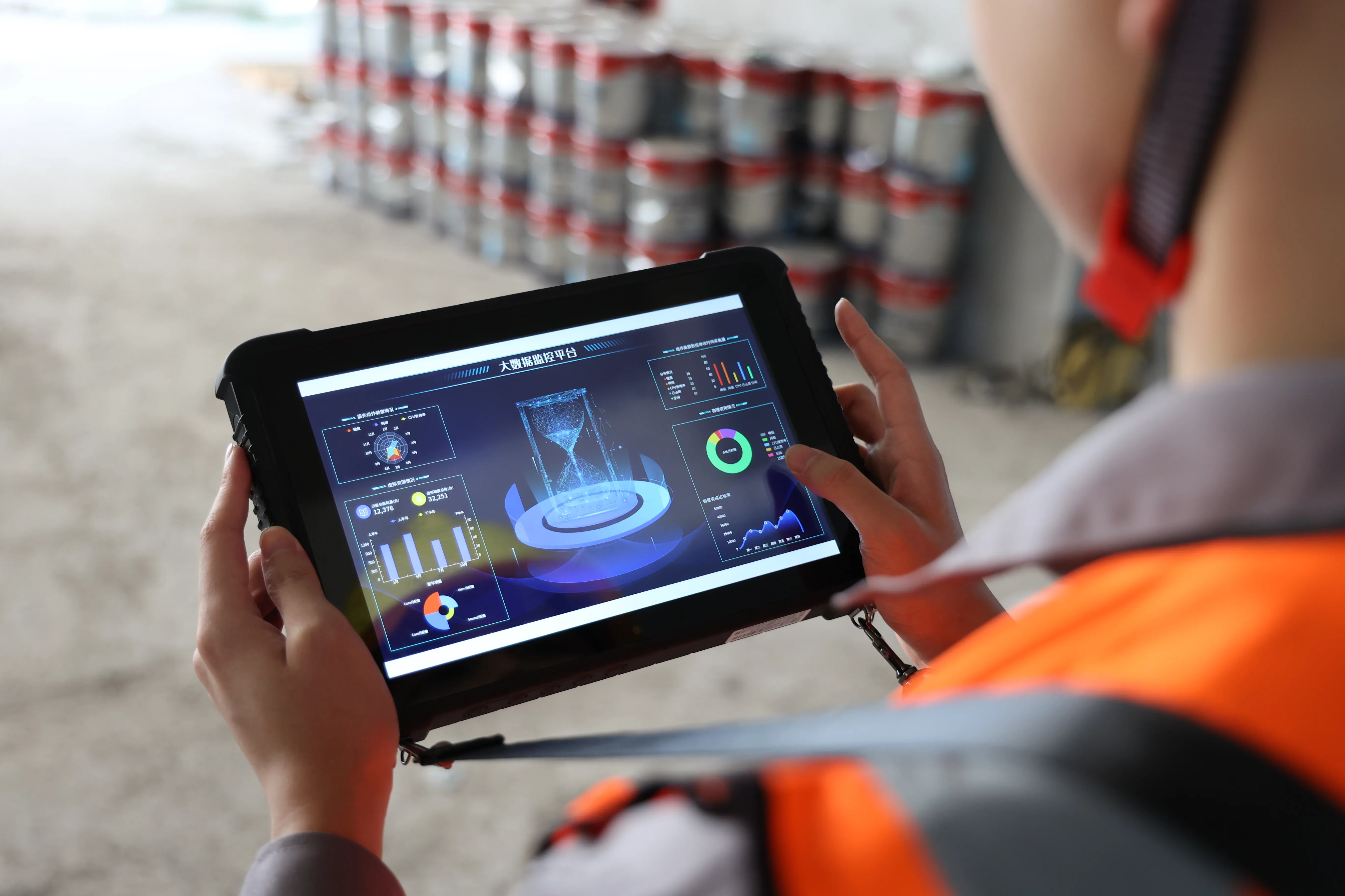
Utility crews inspecting substations or transmission corridors often move between shaded forest floors and exposed concrete pads — environments where ambient temperatures swing from -20°C to 60°C. The EM-T17X is rated for that full operating range, with IP65 sealing against dust and low-pressure water jets (e.g., rain, hose-down cleaning), plus MIL-STD-810H certification for shock, vibration, and thermal shock. That means no condensation-related touchscreen failure after moving from an air-conditioned truck into humid summer heat — a known pain point with non-ruggedized Android tablets. The removable 10,000mAh battery supports ~7 hours of continuous GNSS+mapping app use, and its hot-swap capability lets crews carry spares without powering down mid-job.
Why This Matters for Procurement Teams
For procurement managers evaluating Onerugged’s hardware ecosystem, the EM-T17X fits a specific niche: high-accuracy GNSS workflows where Android-native apps (like ESRI Field Maps, QField, or proprietary survey tools) replace legacy Windows CE field computers. Its 8GB RAM + 128GB storage handles large orthomosaic downloads and offline vector basemaps — critical when working beyond reliable cellular coverage. And because it ships with Android 12 and GMS, it integrates cleanly with enterprise MDM platforms and avoids the security and update dead-ends common with forked Android builds. When compared against alternatives, the combination of certified durability, verified RTK performance, and field-ready ergonomics justifies TCO over time — especially when factoring in reduced device replacements and fewer data re-capture events due to positional drift. For deeper context on how these specs translate to long-term savings, see our analysis on how rugged tablets reduce TCO in distributed field operations.
Deployment Notes for IT and Field Ops Teams
This tablet runs Android 12 natively — no custom ROMs or vendor lock-in — so it supports standard enterprise mobility management (EMM/MDM) policies for app whitelisting, certificate deployment, and remote wipe. USB-C and dual-SIM support simplify connectivity management across regional carriers, while the 12-pin pogo pin interface enables optional accessories like barcode sleds or external GNSS receivers. For warehouse teams managing mobile assets alongside spatial data, this same rugged platform appears in related configurations — check our guide to rugged tablets for warehouse management. Likewise, if your team operates in harsher conditions — think desert solar exposure or coastal salt fog — review how overcoming extreme environments shapes hardware selection beyond basic IP ratings.


Comments
Post a Comment